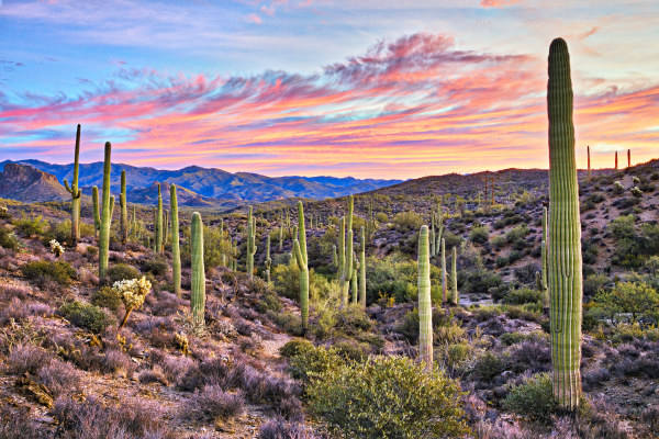
| Month | Temp. (min) | Temp. (max) | Temp. (avg) | Precipitation |
| January | 39°F | 69°F | 52°F | 1.0" |
| February | 42°F | 73°F | 56°F | 0.8" |
| March | 47°F | 80°F | 63°F | 0.5" |
| April | 52°F | 86°F | 69°F | 0.2" |
| May | 60°F | 93°F | 78°F | 0.1" |
| June | 71°F | 104°F | 88°F | 0.3" |
| July | 76°F | 101°F | 88°F | 3.3" |
| August | 74°F | 100°F | 86°F | 2.0" |
| September | 69°F | 96°F | 82°F | 1.5" |
| October | 58°F | 89°F | 73°F | 0.4" |
| November | 48°F | 79°F | 62°F | 0.4" |
| December | 39°F | 69°F | 52°F | 1.1" |

| Index | Picture Rocks | Arizona | National |
| Air quality index | 47 | 57 | 42 |
| Pollution index | 4,063,380 | 9,766,019 | 2,726,193 |
| Measurement | Total |
| Days measured | 365 |
| Days with good air quality | 225 |
| Days with moderate air quality | 138 |
| Days w/ poor A.Q. for sensitive groups | 2 |
| Days with unhealthy air quality | 0 |
| Pollutant | Total |
| Arsenic | 0.004% |
| Benzene | 0.060% |
| Carbon Tetrachloride | 0.010% |
| Lead | 0.040% |
| Mercury | 0.001% |
| City | Population | Air Quality Index | National Avg. |
| Avra Valley, AZ | 6,432 | 47 | 6.0% |
| Rillito, AZ | 0 | 47 | 6.0% |
| Valencia West, AZ | 12,659 | 47 | 6.0% |
| Casas Adobes, AZ | 72,858 | 47 | 6.0% |
| Drexel Heights, AZ | 31,405 | 47 | 6.0% |
| Picture Rocks, AZ | 9,197 | 47 | 6.0% |
| City | Population | Air Quality Index | National Avg. |
| Olney, IL | 9,196 | 36 | 28.0% |
| Waseca, MN | 9,195 | 36 | 28.0% |
| Toppenish, WA | 9,199 | 38 | 24.0% |
| South Amboy, NJ | 9,192 | 51 | 2.0% |
| Ashland, NJ | 9,189 | 51 | 2.0% |
| Picture Rocks, AZ | 9,197 | 47 | 6.0% |
 Here are the best places to live in Arizona
 These are the 10 cheapest cities in Arizona
 Most Dangerous Cities In The US
 Safest States In The US