Upper State 68 Good
Upper State Livability #4 ranked neighborhood in Santa Barbara#369 ranked neighborhood in CaliforniaRanks better than 91% of areas
Is This the Right Place for You? Local Insights Report
  • Uncover the key details before you move
  • Use local data to guide a smarter investment
  • Compare neighborhoods side by side
Local Insights Report

Best Places to Live in and Around Upper State

See all the best places to live around Upper State

How Do You Rate The Livability In Upper State?

1. Select a livability score between 1-100
0
Awful
25
Poor
50
Average
75
Good
100
Great
2. Select any tags that apply to this area
View results

Compare Santa Barbara, CA Livability

City Image
    City Default Image
      vs
      Compare Neighborhoods & Addresses Local Insights Report

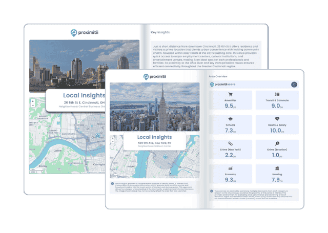
      Why stop at city-to-city? With Local Insights, you can compare neighborhoods, zip codes, or even exact addresses. Access 300+ hyperlocal data points—from schools and crime to housing and amenities—to see which area is the better fit.

      Local Insights Report

      Upper State transportation information

      Statistic Upper State Santa Barbara California
      Average one way commuten/a17min28min
      Workers who drive to work74.2%67.2%73.5%
      Workers who carpool7.8%9.7%10.6%
      Workers who take public transit3.1%3.6%5.2%
      Workers who bicycle2.1%3.6%1.1%
      Workers who walk5.0%5.3%2.7%
      Working from home6.6%9.5%5.4%
      Source: The Upper State, Santa Barbara, CA data and statistics displayed above are derived from the United States Census Bureau American Community Survey (ACS).