| Statistic | Reportedincidents | East Meyer/100k people | Kansas City/100k people | Missouri/100k people | National/100k people |
| Total crime | 31,834 | 10,250 (estimate) | 6,223 | 2,403 | 2,119 |
| Murder | 141 | n/a | 27.6 | 7.8 | 5.0 |
| Rape | 382 | n/a | 74.7 | 45.2 | 37.5 |
| Robbery | 1,299 | n/a | 253.9 | 51.5 | 60.6 |
| Assault | 6,092 | n/a | 1,190.9 | 357.5 | 256.1 |
| Violent crime | 7,914 | 2,910 (estimate) | 1,547 | 462 | 359 |
| Burglary | 2,508 | n/a | 490.3 | 236.3 | 229.2 |
| Theft | 12,555 | n/a | 2,454.4 | 1,306.5 | 1,272.1 |
| Vehicle theft | 8,857 | n/a | 1,731.5 | 398.4 | 258.8 |
| Property crime | 23,920 | 7,340 (estimate) | 4,676 | 1,941 | 1,760 |

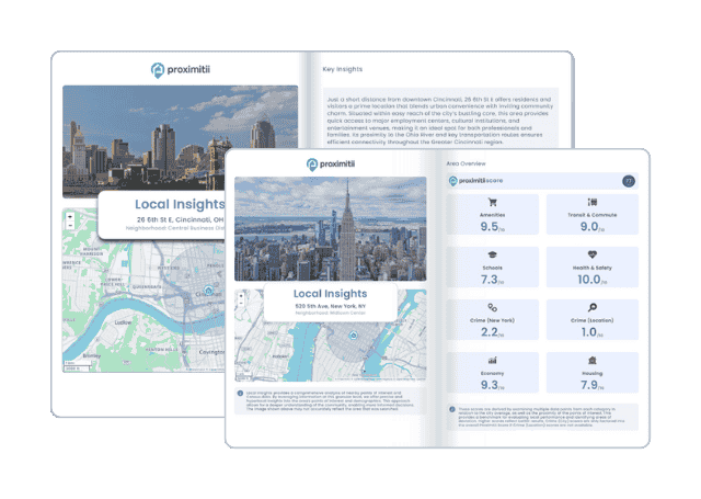
Why stop at city-to-city? With Local Insights, you can compare neighborhoods, zip codes, or even exact addresses. Access 300+ hyperlocal data points—from schools and crime to housing and amenities—to see which area is the better fit.

| Item | East Meyer | Kansas City | Missouri |
| Law enforcement employees (officers & civilians) | n/a | 1,869 | 12,115 |
| Police officers & civilians /1000 residents | n/a | 4.0 | 3.7 |
| State | Total offenders | Missouri /100K | National /100K |
| Missouri | 19,657 | 344 | 266 |
| City | Population | Violent crime/100k people | Property crime/100k people | Total crime/100k people |
| Oakview, MO | 455 | 0 | 0 | 0 |
| Lake Winnebago, MO | 1,210 | 0 | 221 | 221 |
| Lake Quivira, KS | 1,119 | 62 | 275 | 336 |
| Greenwood, MO | 6,243 | 81 | 390 | 471 |
| Lake Tapawingo, MO | 999 | 0 | 519 | 519 |
| Fairway, KS | 4,086 | 144 | 385 | 530 |
| Mission Woods, KS | 189 | 177 | 790 | 968 |
| Kansas City, MO | 501,302 | 1,547 | 4,676 | 6,223 |
| City | Population | Violent crime/100k people | Property crime/100k people | Total crime/100k people |
| Omaha, NE | 494,852 | 369 | 3,162 | 3,531 |
| Atlanta, GA | 514,426 | 176 | 905 | 1,081 |
| Raleigh, NC | 482,278 | 489 | 2,819 | 3,308 |
| Sacramento, CA | 520,516 | 755 | 2,547 | 3,302 |
| Colorado Springs, CO | 481,855 | 716 | 3,449 | 4,164 |
| Kansas City, MO | 501,302 | 1,547 | 4,676 | 6,223 |

 Here are the best places to live in Missouri
 See the best places to live in Kansas City
 Safest Cities In The US
 Check out the 10 safest cities in Missouri