
 Nothing Found
No pros were identified for this area. No categories met the specified threshold.
 Amenities
A large portion of amenities are not ideally situated within walking distance, potentially requiring residents to utilize a vehicle or public transportation.
 Commute
Access to public transportation in this particular area may be limited, which can result in longer-than-average commute times to reach workplaces.
 Health & Safety
A low health and safety score may be attributed to factors such as subpar air quality and the unavailability of certain health-related facilities like hospitals, clinics, doctors and pharmacies.
 Schools
The lower than average schools score may be influenced by below-average education levels, subpar reading and math scores and the lack of access to local elementary and high schools.
 Ratings
Surveys and polls conducted by AreaVibes with residents of the area revealed unfavorable results concerning the walkability of amenities, the availability of parks and public transit access.

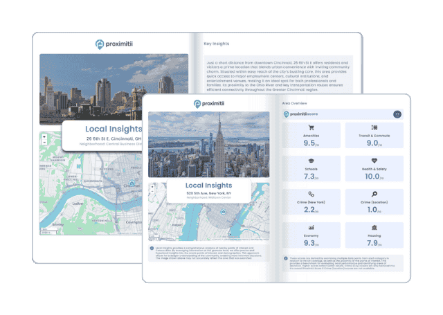
Why stop at city-to-city? With Local Insights, you can compare neighborhoods, zip codes, or even exact addresses. Access 300+ hyperlocal data points—from schools and crime to housing and amenities—to see which area is the better fit.

| Statistic | Herlong | California | National |
| Average one way commute | 12min | 28min | 26min |
| Workers who drive to work | 79.5% | 73.5% | 76.4% |
| Workers who carpool | 20.5% | 10.6% | 9.3% |
| Workers who take public transit | 0.0% | 5.2% | 5.1% |
| Workers who bicycle | 0.0% | 1.1% | 0.6% |
| Workers who walk | 0.0% | 2.7% | 2.8% |
| Working from home | 0.0% | 5.4% | 4.6% |