| Month | Temp. (min) | Temp. (max) | Temp. (avg) | Precipitation |
| January | 36°F | 46°F | 41°F | 3.8" |
| February | 37°F | 49°F | 42°F | 2.7" |
| March | 39°F | 52°F | 45°F | 4.4" |
| April | 42°F | 57°F | 48°F | 2.8" |
| May | 47°F | 64°F | 54°F | 2.2" |
| June | 51°F | 68°F | 58°F | 1.8" |
| July | 55°F | 74°F | 63°F | 0.7" |
| August | 56°F | 75°F | 63°F | 0.9" |
| September | 53°F | 69°F | 59°F | 2.0" |
| October | 47°F | 59°F | 52°F | 3.6" |
| November | 40°F | 51°F | 45°F | 5.7" |
| December | 35°F | 44°F | 39°F | 4.9" |

| Index | Hat Island | Washington | National |
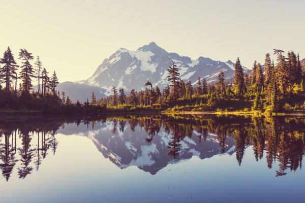
| Air quality index | 45 | 36 | 42 |
| Pollution index | 15,778,900 | 4,541,850 | 2,726,193 |
| Measurement | Total |
| Days measured | 365 |
| Days with good air quality | 236 |
| Days with moderate air quality | 127 |
| Days w/ poor A.Q. for sensitive groups | 2 |
| Days with unhealthy air quality | 0 |
| Pollutant | Total |
| Arsenic | 0.010% |
| Benzene | 0.270% |
| Carbon Tetrachloride | 0.040% |
| Lead | 0.160% |
| Mercury | 0.003% |
| City | Population | Air Quality Index | National Avg. |
| Camano, WA | 17,523 | 24 | 52.0% |
| Sisco Heights, WA | 3,106 | 24 | 52.0% |
| Warm Beach, WA | 2,993 | 24 | 52.0% |
| Cavalero, WA | 5,557 | 24 | 52.0% |
| North Marysville, WA | 143 | 24 | 52.0% |
| Hat Island, WA | 62 | 45 | 10.0% |
| City | Population | Air Quality Index | National Avg. |
| Igiugig, AK | 62 | 31 | 38.0% |
| Klukwan, AK | 62 | 20 | 60.0% |
| Whitestone, AK | 62 | 38 | 24.0% |
| Petrey, AL | 62 | 52 | 4.0% |
| Yucca, AZ | 62 | 13 | 74.0% |
| Hat Island, WA | 62 | 45 | 10.0% |
 Here are the best places to live in Washington
 Most Dangerous Cities In The US
 Most Dangerous States In The US
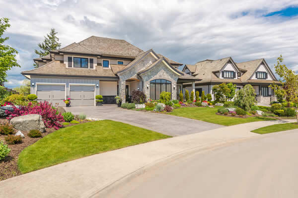 These are the 10 cheapest cities in Washington