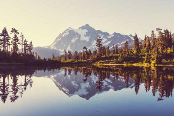
| Month | Temp. (min) | Temp. (max) | Temp. (avg) | Precipitation |
| January | 25°F | 38°F | 31°F | 2.0" |
| February | 28°F | 43°F | 34°F | 1.4" |
| March | 32°F | 52°F | 41°F | 2.4" |
| April | 36°F | 61°F | 47°F | 1.3" |
| May | 43°F | 72°F | 57°F | 1.2" |
| June | 50°F | 78°F | 64°F | 2.0" |
| July | 57°F | 90°F | 73°F | 0.5" |
| August | 55°F | 88°F | 71°F | 0.4" |
| September | 47°F | 78°F | 61°F | 0.6" |
| October | 39°F | 62°F | 49°F | 1.7" |
| November | 32°F | 47°F | 39°F | 2.0" |
| December | 25°F | 37°F | 30°F | 2.4" |

| Index | North Indian Trail | Spokane | Washington |
| Air quality index | 43 | 43 | 36 |
| Pollution index | 408,717 | 2,233,350 | 4,541,850 |
| Measurement | Total |
| Days measured | 365 |
| Days with good air quality | 252 |
| Days with moderate air quality | 111 |
| Days w/ poor A.Q. for sensitive groups | 2 |
| Days with unhealthy air quality | 0 |
| Pollutant | Total |
| Arsenic | 0.002% |
| Benzene | 0.030% |
| Carbon Tetrachloride | 0.002% |
| Lead | 0.003% |
| Mercury | 0.001% |
| City | Population | Air Quality Index | National Avg. |
| Fairchild AFB, WA | 3,548 | 43 | 14.0% |
| Green Bluff, WA | 375 | 43 | 14.0% |
| Town and Country, WA | 5,549 | 43 | 14.0% |
| Four Lakes, WA | 530 | 43 | 14.0% |
| Mead, WA | 7,244 | 43 | 14.0% |
| Spokane, WA | 223,638 | 43 | 14.0% |
| City | Population | Air Quality Index | National Avg. |
| Tacoma, WA | 223,137 | 18 | 64.0% |
| Spring Valley, NV | 224,434 | 54 | 8.0% |
| Modesto, CA | 222,619 | 49 | 2.0% |
| Richmond, BC | 222,489 | n/a | |
| Des Moines, IA | 221,968 | 39 | 22.0% |
| Spokane, WA | 223,638 | 43 | 14.0% |
 Here are the best places to live in Washington
 Check out the 10 safest cities in Washington
 Most Dangerous States In The US
 These are the 10 cheapest cities in Washington